


The Easiest Route Up Mt. Takao / Tokyo hiking
-
- Duration
- 1Day / 2Hour
- Highest Point
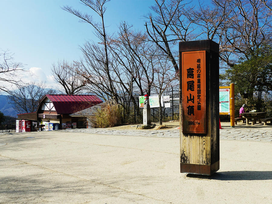
- 599m
- Elevation Gain
- 411m
-
- Skill Level


- Fitness Level
- Gear Level
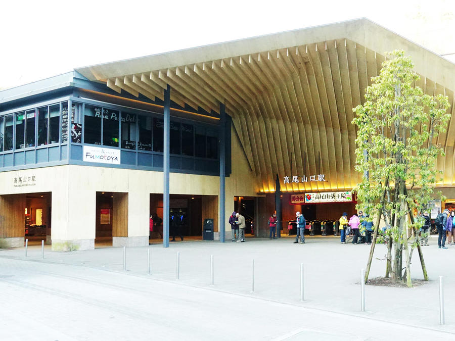
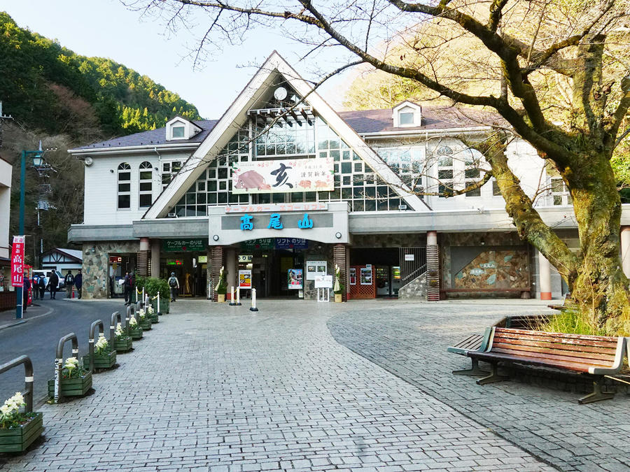
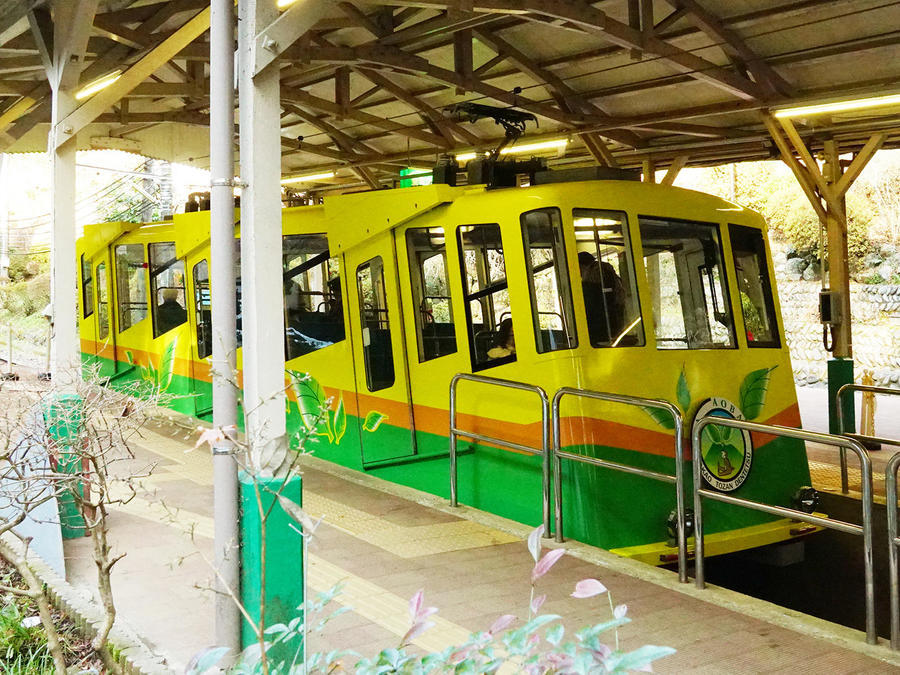
Mt. Takao's Nature Research Trail 1 (Takao-san Shizen Kenkyuro Ichi Gohro) is its most popular route. If you take the lift or cable car, you can reach the summit with just an hour's walk.
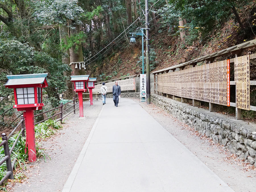
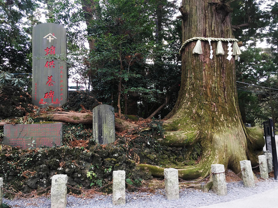
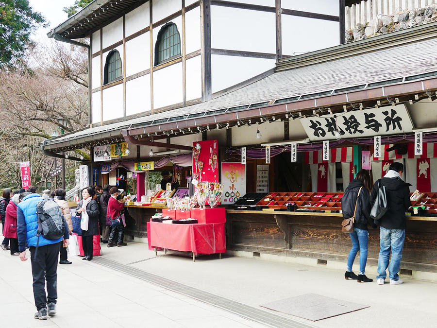
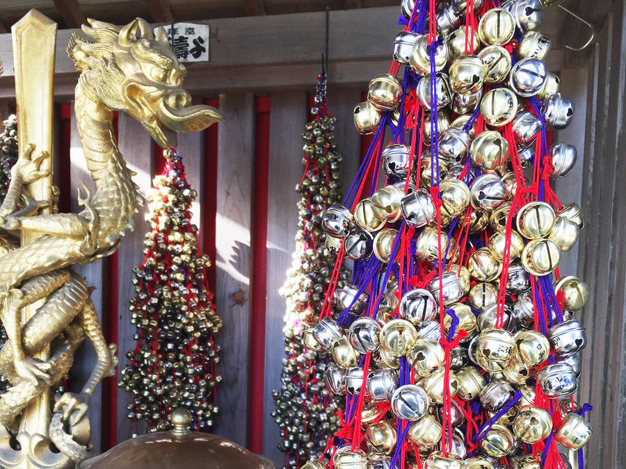
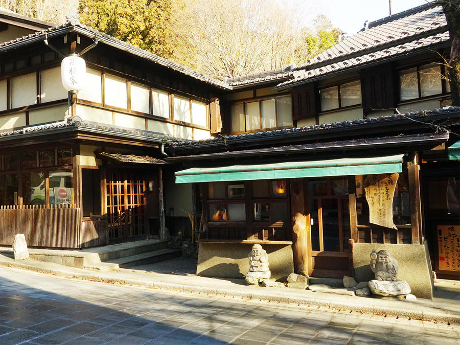
At the start of the hike you'll encounter enormous cedar trees before entering the grounds of Yakuo-in Temple. Once you pass a row of tea shops and through another temple gate, you'll reach the main hall. The area is full of features tied to tied to its esoteric worship.
Climb the stairs beside the temple to continue towards the summit. From here you'll be surrounded by nature as you hike the mountain trail, giving you a chance to take in Tokyo's lush natural environment. You'll see lots of flowers in the spring as well as the beautiful fresh green leaves of the trees. The mountain trail slopes upwards gently and eventually brings you to the summit.
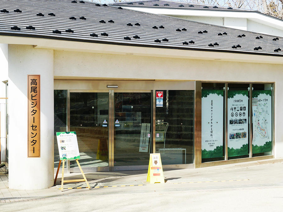
There you'll find a large public area with a visitor center and a toilet. Several tea shops sell refreshments.
When the weather is fine you can get a good view of Mt. Fuji (Fuji-san) from the summit observation deck and a sense of how far inland the range extends from Mt. Takao.
You'll return via the same path you hiked on the way up.
Gallery
Other Info
Yakuo-in Temple was built in the middle of the 8th century. As Mt. Takao is considered a sacred mountain, its nature has long been protected. A day-use hot spring spa is available near Keio Takaosanguchi Station.
Season:All year around
Notes
Mt. Takao has a number of other trails, too. You can choose one of these for your descent or to continue the traverse further into the mountains. In good weather you can hike this trail in sneakers.
Route Map
Elevation Map
Spec
- Duration
- 1Day / 2Hour
- Highest Point
- 599m
- Elevation Gain
- 411m
- Horizontal Distance
- 6Km
- Skill Level
- Fitness Level
- Gear Level
On the Trail
- Sleeping
- -----
- Eating
There are several tea shops at the foot of the mountain, along the trail, and at the summit
- Hot-Springs
Keio Takaosan Onsen Gokurakuyu is near Takaosanguchi Station


