


The Tanzawa mountain range (Tanzawa-sankai) runs approximately 40 kilo meters east-west through northwestern Kanagawa Prefecture. Most of it is incorporated into Tanzawa-Oyama Quasi-National Park.Mt. Hinokiboramaru in the western portion of the Tanzawa mountain range is also known as Mt. Aogatake. Here we showcase the Tsutsuji Shindo Trail, the most commonly used route up the mountain. Tsutsuji means "azalea" in Japanese, and as the trail's name suggests, there are lots of these bushes along the way. They are beautiful when they blossom in the spring. Other hiking options include the Dokaku Sanryo Trail from the Yushin Valley and the Tanzawa Shuryo Trail via Mt. Hirugatake, Tanzawa's highest peak.
Tanzawa, Mt. Hinokiboramaru Round trip via the Tsutsuji Shindo Trail
A popular Nishi Tanzawa peak with plenty of flowers along the way.
-
- Duration
- 1Day / 6Hours
- Highest Point
- 1601m
- Elevation Gain
- 1016m
-
- Skill Level


- Fitness Level
- Gear Level
To reach the trailhead, from the Nishi Tanzawa Visitor Center, walk 10 minutes along the road by the river. From there the trail continues through the forest for a while and up a steep slope with a planked walkway. It levels out after approximately a kilometer, bringing you to Gorasawa-deai.
The trail then crosses a broad river bed, goes up some stairs, and traverses a ridge. After approximately an hour's hike through forest with occasional stairs and chains to help you along, you arrive at a lookout area. It has benches and a beautiful view on clear days that includes Mt. Fuji (Fuji-san). From there the trail hikes through beech forest, and in some places you need to ascend iron ladders and wooden stairs.
Eventually the trail becomes a flat wooden walkway. Hike the slope with dead stands of trees and you will reach Mt. Hinokiboramaru's summit with its many benches and a 360-degree view that includes Mt. Fuji. The Aogatake Sanso mountain hut is located a little below the summit and has a toilet. Return the same way you came.
Gallery
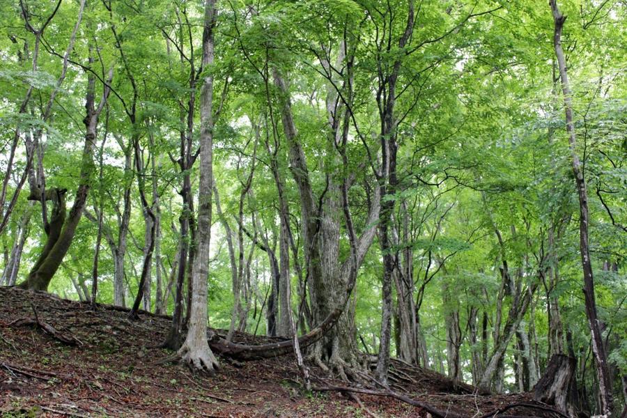
Fresh green on the Tanzawa Mountain Range
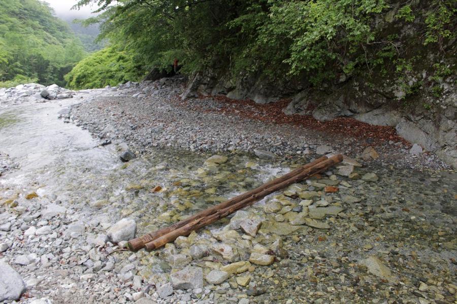
Gorasawa-deai
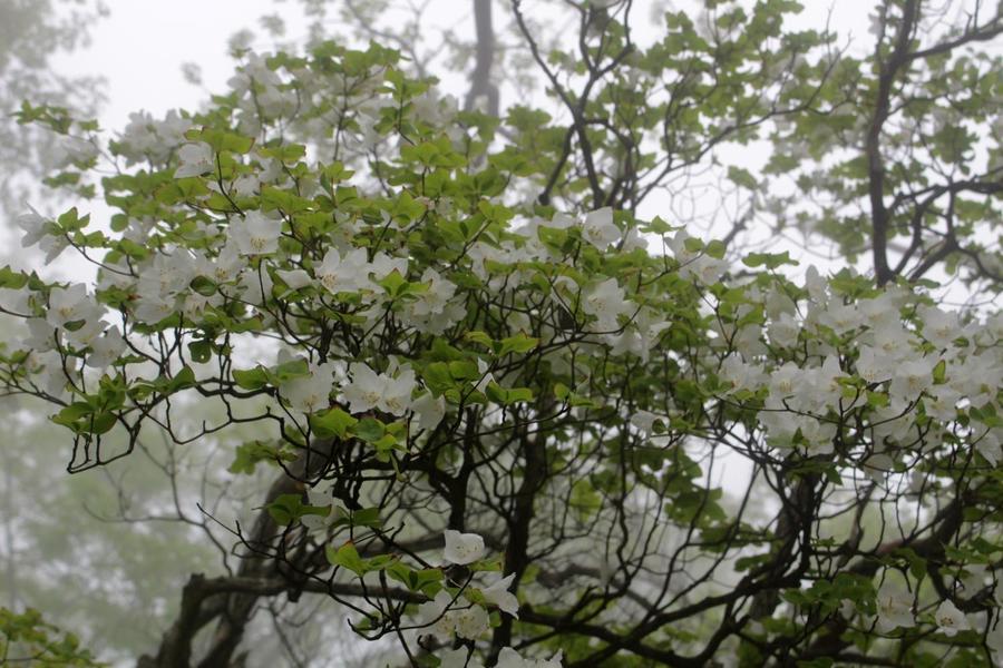
Mt. Hinokiboramaru's famous rhododendron quinquefolium
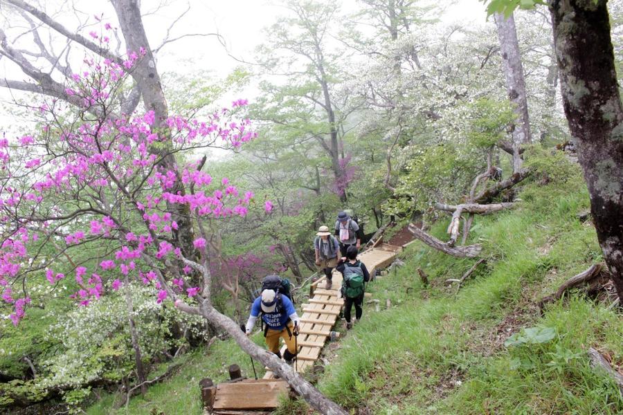
Hike past rhododendrons on Tsutsuji shindo Trail

Trail leading to the summit of Mt. Hinokiboramaru
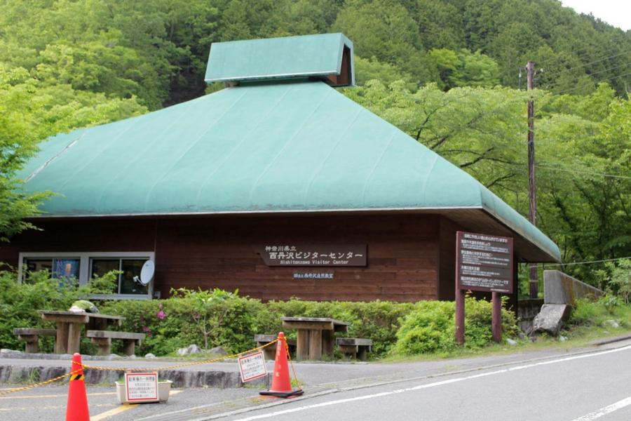
Get the latest information and start hiking from the Nishi Tanzawa Visitor Center is at the trailhead
Other Info
The end of May is usually the best time to see the trail's namesake Tsutsuji blossoms. There are a number of these azalea species, including white cork azaleas, pink rhododendrons, and red torch azaleas.
High Season:May
Notes
Though it's a popular route, you'll still want to watch your footing on rainy days because of the many plank walkways, chains, and ladders at precipitous spots along the steep slopes.
Route Map
Elevation Map
Height (m)
Horizontal Distance (km)
Spec
- Duration
- 1Day / 6Hours
- Highest Point
- 1601m
- Elevation Gain
- 1016m
- Horizontal Distance
- 9.3Km
- Skill Level
- Fitness Level
- Gear Level
On the Trail
- Sleeping
Aogatake Sanso
- Eating
Aogatake Sanso
- Hot-Springs
Nakagawa Onsen Bunano-yu (Hot spring)


