


Explore the Shirakami-Sanchi Mountain Range, a UNECSO World Nature Heritage Site
-
- Duration
- 2Days / 13.5Hours
- Highest Point
- 1235m
- Elevation Gain
- 1217m
-
- Skill Level


- Fitness Level
- Gear Level
From the Okujuniko Chushajo bus stop, walk along the paved road while admiring the Ketobano-ike Pond to your left. In about 10 minutes, you’ll arrive at Ao-ike Pond. Although small, this pond has beautiful blue water.
From Ao-ike Pond, hike up a steep slope through a valley surrounded by broad-leaved trees. After about an hour, the path changes to a fairly level trail with many large boulders around it. Continue on for another 50 minutes to reach Okuzure. Okuzure is at the edge of a spot where a segment of the west rock wall collapsed. It boasts gorgeous views of the Lake Juniko area. Retrace the same route to complete the return leg of your hike.
Start the second day of the trek by taking the Gono Line from Juniko station to the Shirakami Tozan-guchi station (approx. 5 minutes). From Shirakami Tozan-guchi station, walk along the forest road for about 45 minutes to the parking lot at the trailhead. Then go up the stairs to the mountain hut above. Traverse the path through the old-growth beech forest and you will reach Futamata fork within about an hour of hiking from the trailhead.
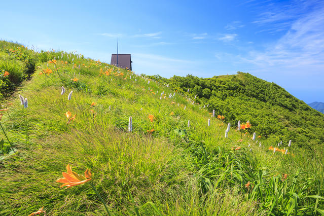
Continue on for another 40 minutes to reach a place where you can refill your water. From here, hike up a steep gradient for about 50 minutes to reach Mateyama fork, then head to eastward following the gentle ridgeline. Continue hiking along the main ridge for two hours until you arrive at Omine fork, then hike southwards for another 15 minutes to Mt. Shirakami’s peak.
Retrace your route back to the starting point to complete the return leg of your hike.
Gallery
Other Info
The lakes that you can see from Okuzure are named Juniko, which literally means “12 Lakes.” In actuality, there are 33 lakes to be found within the old-growth beech forest. You can also enjoy hiking throughout this area.
High Season:June to October
Notes
In order to preserve the environment of this World Nature Heritage Site, practices such as picking plants, bringing pets with you, and disposing of trash are forbidden within the Shirakami-Sanchi area. Additionally, you are asked to conclude any visits to the toilet prior to embarking on your hike. If you absolutely must relieve yourself mid-hike, trail etiquette dictates that you dig a hole and bury any waste rather than leaving it in the open. Please respect and follow these hiking rules.
Route Map
Elevation Map
Spec
- Duration
- 2Days / 13.5Hours
- Highest Point
- 1235m(Mt. Shirakami)
- Elevation Gain
- 1217m
- Horizontal Distance
- 12.3Km
- Skill Level
- Fitness Level
- Gear Level
On the Trail
- Sleeping
Shirakamidake-sancho-hinan-goya (an unmanned shelter)
- Eating
Morino-Bussankan Kyororo
- Hot-Springs
Aone Shirakami Juniko Aoneno-yu


