


Mt. Amigasa (Amigasa-yama) and Mt. Gongen (Gongen-dake) are located on the border between Nagano Prefecture and Yamanashi Prefecture. They form the ridgeline of the southern tip of the Yatsugatake Mountain Range (Yatsugatake-renpo). Despite being adjacent to each other, the conical and gently-sloping Mt. Amigasa and Mt. Gongen, with its steep rock ridges, could not look more unalike. Here we will introduce a looping route from the Kannon-daira trailhead in Yamanashi Prefecture, which is located at a high altitude and also has good transportation access.
Loop of Mt. Amigasa and Mt. Gongen in the Southern Yatsugatake Mountains
A tour of unalike two mountains of the Southern Yatsugatake Mountains.
-
- Duration
- 2Days / 8.5Hours
- Highest Point
- 2715m
- Elevation Gain
- 1197m
-
- Skill Level


- Fitness Level
- Gear Level
After hiking directly up the trail from Kannon-daira through the forest belt for about an hour you will arrive at an outlook equipped with benches called Unkai. The outlook offers a great view of Kobuchizawa and the rest of the highlands in the southern base of the Yatsugatake Mountain Range.
After hiking further up the ridge from Unkai for about 50 minutes you will arrive at a fork. If you take the right fork, you can traverse Mt. Amigasa and go to the Seinen-goya mountain hut. However, we will take the left fork and head for Mt. Amigasa.As you climb up the steep slope formed by a row of massive boulders the surrounding area will transition into stone pine belt and you will arrive at Mt. Amigasa.
The peak is a rocky section dotted with stone pines. Hikers can enjoy a 360-degree view with the Yatsugatake Mountain Range to the north and the Southern Japanese Alps and Mt. Fuji (Fuji-san) to the south. The Seinen-goya is located in a col about a 20-minute hike down from Mt. Amigasa. You will stay the first night here.
On the start of the second day, you will head towards Mt. Gongen. After passing through a meadow dotted with dead trees and climb through the forest belt you will arrive at Noroshiba. After hiking down for a bit, you will climb a rocky peak known as Nishi-giboshi. Proceed through the rocky area that connects Nishi-giboshi to Higashi-giboshi using the chains. As you pass the Gongen-goya mountain hut you will come to yet another uphill rocky area. About one and a half hours after leaving the Seinen-goya you will arrive at the summit of Mt. Gongen where two massive boulders stand.
Carefully hike down the ridge heading south from Mt. Gongen and in about 40 minutes you will be standing on a peak called Mitsugashira. There is a fork just below Mitsugashira. Proceed down the south west fork and in about 2 and half hours you will come out onto the Yatsugatake crossroad.
Walk down the Yatsugatake crossroad, which traverses through a forest belt and hike back up the dry riverbed to return to Kannon-daira.
Gallery
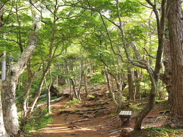
From Kanon-daira trailhead, hike for a while through a forest belt.
Other Info
High Season:May to October
Notes
The ridgelines around Mt. Gongen that lead from Noroshiba to Mitsugashira are rocky and there are multiple areas with chains. There are also places where the rocks are brittle and prone to rockslides. As such, make sure to exercise caution against slipping and falling, rockslides, and other hazards when passing through this area.
Route Map
Elevation Map
Height (m)
Horizontal Distance (km)
Spec
- Duration
- 2Days / 8.5Hours
- Highest Point
- 2715m
- Elevation Gain
- 1197m
- Horizontal Distance
- 10.9Km
- Skill Level
- Fitness Level
- Gear Level
On the Trail
- Sleeping
Seinen-goya, Gongen-goya
- Eating
Spatio Kobuchizawa
- Hot-Springs
Spatio Kobuchizawa


