


This site uses cookies to analyze site usage, to optimize content and advertising, and to provide social media functions.
In order to access this site, you need to agree to the use of cookies.
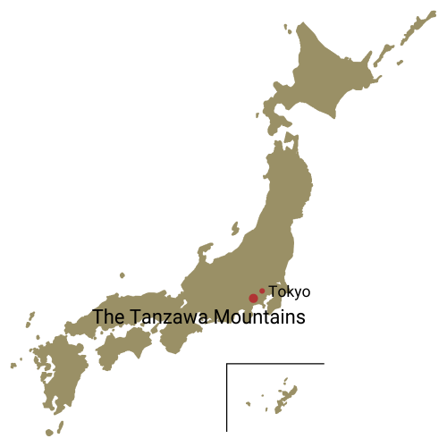
Peaks of the Tanzawa Mountains
The Tanzawa Mountains run about 50 kilo meters east to west and about 30 kilo meters north to south.They are roughly divided into Higashi Tanzawa (eastern) and Nishi Tanzawa (western) areas, with the pass between the range's highest peak of Mt. Hirugatake and Mt. Hinokiboramaru to the west as the boundary. You can reach the mountains of Higashi Tanzawa with a train on the Odakyu Line connecting to a bus. For the Nishi Tanzawa peaks it's a long bus ride from an Odakyu Line station, or you can take the JR Gotenba Line.
The diverse range of peaks and valleys with their stunning natural environment and seasonal changes along with close proximity to Tokyo make these mountains popular year-round. The main range of Mt. Tonodake (Tohno-dake) and neighboring Mt. Nabewari are easy to climb and see a lot of hikers.
The beautifully conical Mt. Oyama (Oh-yama) has been climbed as an object of religious devotion since the 12th century, and traces of that tradition still survive on the mountain today.
- Pyramidal Mt. Oyama, One of the Easier Tanzawa Peaks A Sacred Mountain and Japan Heritage Site.
- Mt. Tonodake, Beginning at Okura Ridge (Round Trip) Shortest trail to the highest peak on the Tanzawa-Omote Ridge.
- Mt. Nabewari, Beginning at Okura (Round Trip) / Tanzawa hiking, Kanagawa Get your udon noodle fix on this popular mountain.
- Tanzawa Omote-one Ridge Traverse A diverse traverse with epic views.
- Round Trip from Okura, through Mt. Tonodake, Mt. Tanzawa and Mt. Hirugatake Head for the center and the highest peak of the Tanzawa mountain range.
- Tanzawa, Mt. Hinokiboramaru Round trip via the Tsutsuji Shindo Trail A popular Nishi Tanzawa peak with plenty of flowers along the way.
