


This site uses cookies to analyze site usage, to optimize content and advertising, and to provide social media functions.
In order to access this site, you need to agree to the use of cookies.
Peaks of the Yatsugatake Mountains
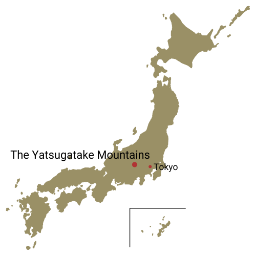
The Yatsugatake Mountains is a mountainous highland area running approximately 30 kilo meters north to south and 15 kilometers east to west that includes Mt. Tateshina and the Kirigamine and Utsukushigahara plateaus (Utsukushigahara-Kohgen). The highest peak is Mt. Akadake at 2,899 meters above sea level. Stretching from north to south, the range can be divided into Minami Yatsugatake (southern) to the south of Natsuzawa Pass and Kita Yatsugatake (northern) to the north based on the topography of the region. Minami Yatsugatake has lots of high exposed ridges, while Kita Yatsugatake is covered with primary forest, its floor often blanketed with beautiful moss. Bodies of water in these quiet mountain forests include Shirakoma-ike Pond, Ama-ike Pond, and Futago-ike Pond.
How you reach the range will differ greatly depending on which mountain and which trails you want to hike. You can access the main peak of Mt. Akadake, Mt. Amidadake, and Mt. Iodake from the west at the Minoto trailhead. If you're starting at Mt. Amigasa (Amigasa-yama) and Mt. Gongendake at the southern end of the range, begin your hike at Kannon-daira.
To access Mt. Tengudake, start from Karasawa Kosen or Shibunoyu to the west. You can reach Mt. Kitayokodake via the Kita-Yatsugatake Ropeway. For Mt. Tateshina, various approaches from the west and the north will all work. Many more peaks and lakes await you as well, accessible either as day hikes or with a one-night stay in the mountains.
- Mt. Akadake Round Trip from Minotoguchi Via Jizo Ridge This course is a round trip to highest peak in the Yatsugatake Mountains including an overnight stay at a mountain hut on the ridgeline.
- Loop of the Southern Yatsugatake Volcanic Group Mt. Io-dake, Mt. Yoko-dake, Mt. Aka-dake, Mt. Amida A two-day tour of the four highest peaks of the Southern Yatsugatake Mountains.
- Mt. Tengu Round trip from Shibunoyu This course offers twin peaks with virgin forests and rock ridges to enjoy.
- Loop of Mt. Amigasa and Mt. Gongen in the Southern Yatsugatake Mountains A tour of unalike two mountains of the Southern Yatsugatake Mountains.
