


Loop of the Northern Yatsugatake Volcanic Group: Shirakoma-ike Pond and Takamiishi
-
- Duration
- 1Day / 3Hours
- Highest Point
- 2330m
- Elevation Gain
- 236m
-
- Skill Level


- Fitness Level
- Gear Level
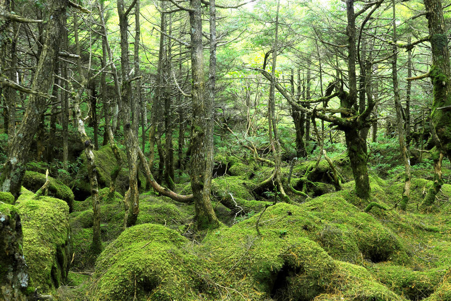
From Mugikusa-toge Pass, follow the traverse route running along the road to reach the entrance to Shirakoma-ike (approx 20minutes). From the entrance to Shirakoma-ike, follow a trail across level terrain through the old-growth forest until you reach the Shirakoma-ike lakeside.
From here, walk around the lake while admiring the view to your right. The wooden walkway is easy to walk along, but can be slippery when wet. Caution is advised after rain. Continue on past the Seitai-so mountain hut and the nearby camping area, enjoying the view of the lake to your right and the old-growth forest to your left as you walk along the path. After about 40 minutes, you’ll arrive at the Shirakoma-so mountain hut.
Follow the trail behind Shirakoma-so and hike up through the virgin forest for about 30 minutes until you reach the Takamiishi-goya mountain hut. The path to the right side of the hut leads to a rocky slope consisting of a mound of large rocks and eventually to the top of Takamiishi. From here, you can enjoy overlooking the view of the lake and old-growth forest you were just walking through.
Hike up for another 20 minutes from Takamiishi-goya to reach Mt. Maruyama. While this spot marks the highest point on the route, it is surrounded by virgin forest and, as such, has a poor view of the surroundings.
From Mt. Maruyama, descend a moderately steep path down past the small peak and walk for about 40 minutes through the old-growth forest to return to your starting point at Mugikusa-toge.
Gallery
Other Info
While more than half of this route is covered in old-growth forest, the area around Shirakoma-ike is also home to several broad-leaved tree species including dodan-tsutsuji (Enkianthus perulatus), nanakamado (Sorbus commixta, or Japanese rowan), and dakekanba (Erman’s birch). You can enjoy bold red and yellow foliage in the first few weeks of October. The pleasing contrast between the colorful foliage and the green of the primeval forest, as well as the pond surface, makes this a popular spot for photography.
High Season:May to October
Notes
The route introduced here benefits from a small change in elevation, relatively short walking time and a course with level terrain. However, due to the number of branching paths through the old-growth forest with limited visibility, you should take care not to get lost. Please check the maps set up at forks on the paths to ensure that you are following the correct route.
Route Map
Elevation Map
Spec
- Duration
- 1Day / 3Hours
- Highest Point
- 2330m(Mt. Maruyama)
- Elevation Gain
- 236m
- Horizontal Distance
- 5.3Km
- Skill Level
- Fitness Level
- Gear Level
On the Trail
- Sleeping
Seitai-so, Shirakoma-so, Takamiishi-goya, Mugikusa Hutte
- Eating
Seitai-so, Shirakoma-so, Takamiishi-goya, Mugikusa Hutte
- Hot-Springs
Yokoya Onsen Ryokan


